1851 c. Greenleaf Map of Kentucky and Tennessee
1842 c. Greenleaf Map of Kentucky and Tennessee
1870 Mitchell Map:Mississippi, Louisiana, Arkansas
1890 Hoen Map of Washington Sewage System
1835 Bradford Map of Kentucky and Tennessee
1862 Johnson Map of Maryland and Deleware
1870 Mitchell Map of Alabama and Georia
1864 Johnson Map of North and South Carolina
1872 Asher Adams Map of North and South Carolina
1863 US War Dept Civil War Map: Siege of Vicksburg
1882 Bradley Map of Florida
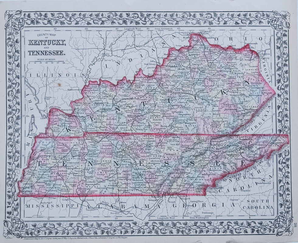
1874 Mitchell Map of Kentucky and Tennessee
HOME
WORLD/CELESTIAL
AMERICA
EUROPE
ASIA
AFRICA
OCEANIA, AUSTRALIA
ATLAS
SPECIALTY MAPS
PICTORIAL MAPS
CONTACT US
ABOUT US
TERMS & CONDITIONS
More