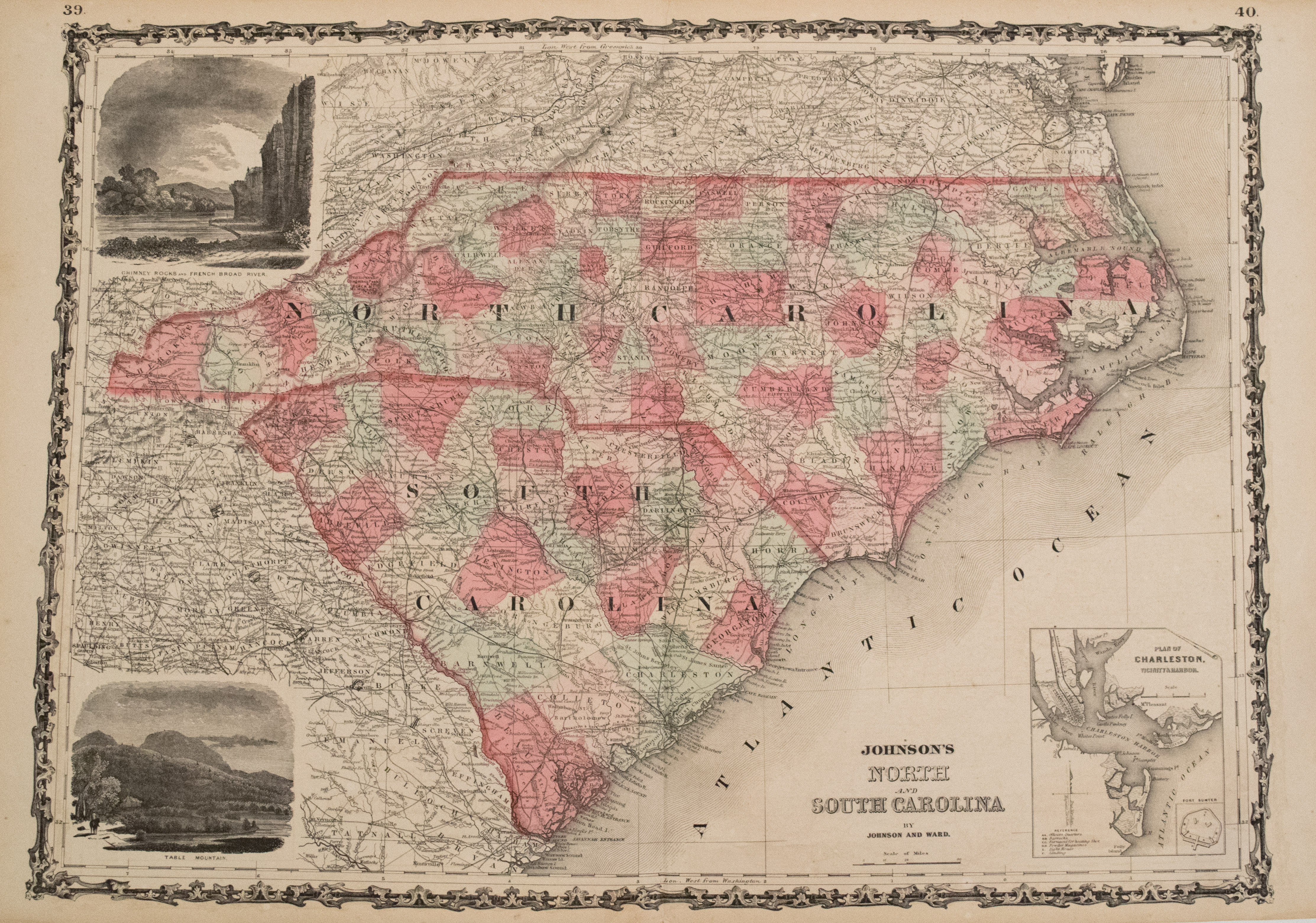
Excellent and highly detailed map of the Carolinas, showing the counties color-coded, towns, topography and railroads, many of which are named. Inserts are Charleston and vicinity, Fort Sumter, Table Mountain and Chimney Rock / French Broad River.
1864 Johnson Map of North and South Carolina
SKU: 2344
$120.00Price
Title
Johnson's North and South Carolina
Map Maker Specifics
Johnson and Ward, 1864, New York
Size
17.3 x 23.8 in. plus margins
Condition
Very good. Slight toning, primarily in margins. Crisp and sharp coloring. Issued centerfold with very slight marginal separation.


