

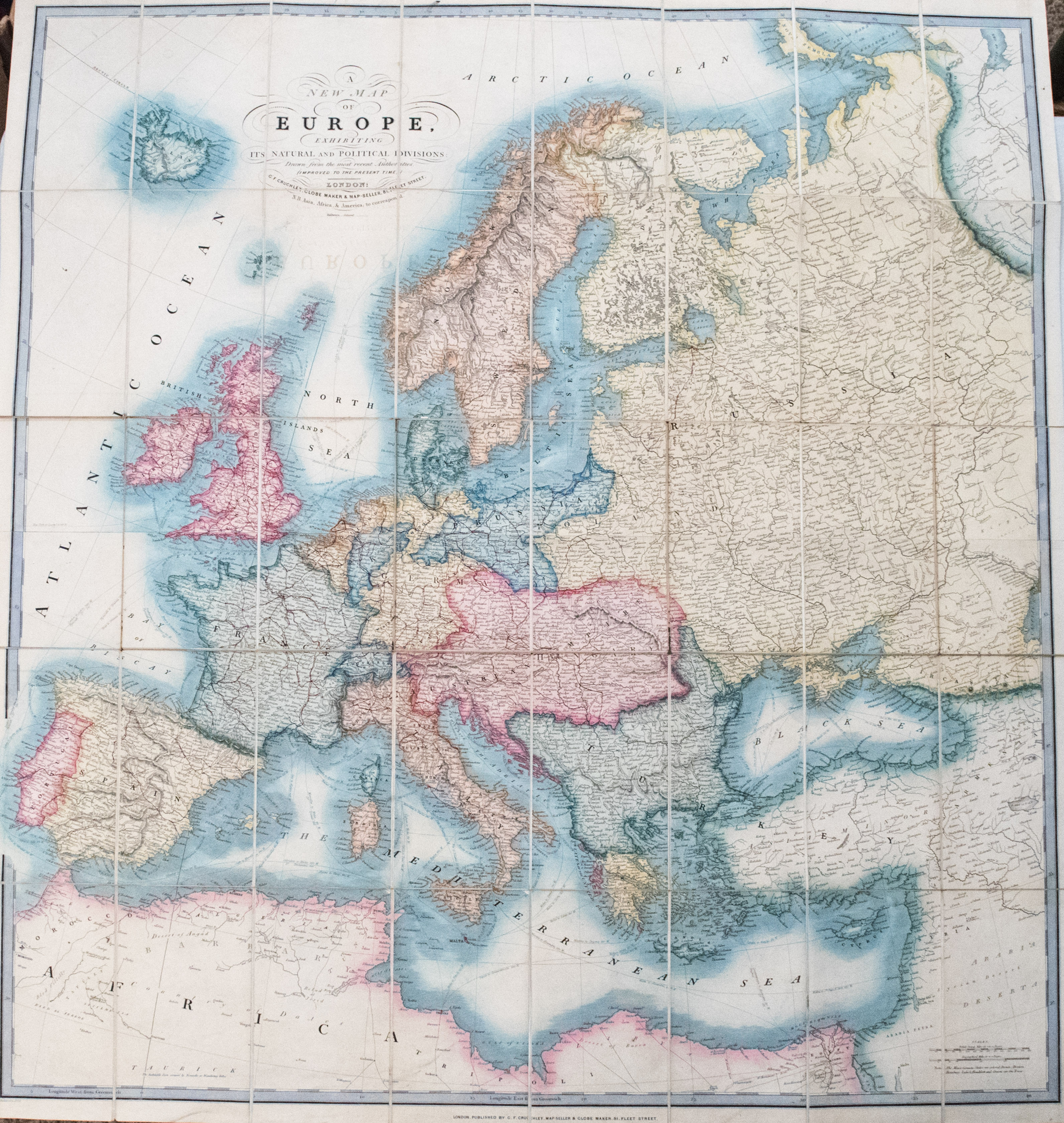

This is an outstanding large map of Europe extending to the Caspian Sea, rich in topographical and settlerment details. The early rairoad lines are shown, as well as key sea routes (Intra-Europe and Trans-Atlantic) with distances. The countries are color-coded. Cruchley is known for his globes as well as maps.
1856 Cruchley Map of Europe with Early Railroads Shown
SKU: 2494
$550.00Price
Title
A New Map of Europe Exhibiting its Natural & Political Divisions Drawn from the Most Recent Authorities Improved to the Present Time
Map Maker Specifics
C Cruchley, 1856 c., London
Size
36.8 x 33.3 in. plus margins
Condition
Very Good Folding Map on thick stock and linen backed - 40 sheets. A few splits in the folds. One modest stain spot in upper margin, and a few smaller; slight offsetting. The Front marbled cover is detached. Nicely colored.