

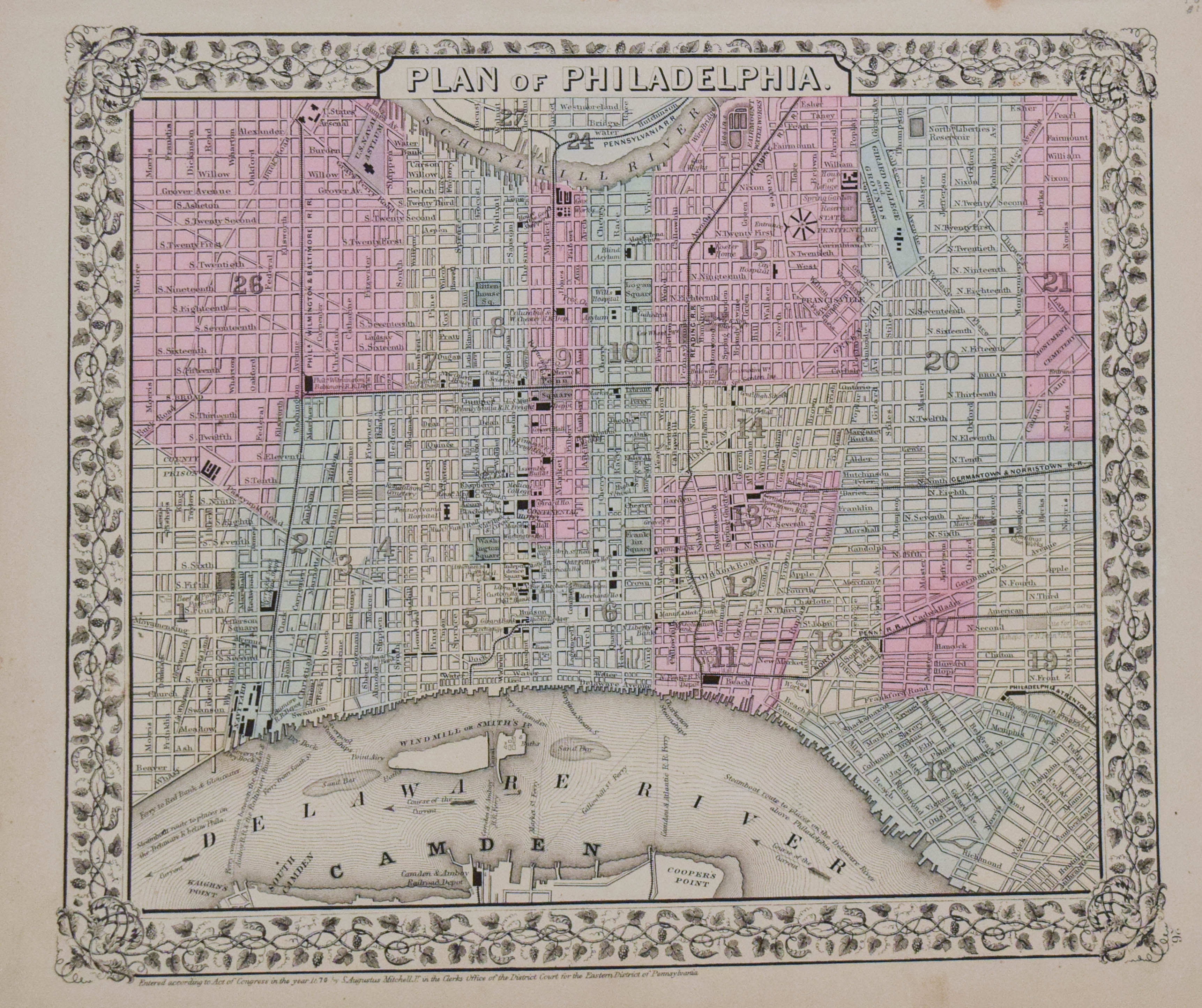
A very nice map of the City of Brotherly Love, identifying the various wards by color. Key locations are identified, including Independence Square, Custom House, Philadelphia Bank, Pennsylvania Hospital, Navy Yard, etc. The streets are named and railroad lines and steam boat routes are shown.
1870 Mitchell Map of Philadelphia
SKU: 2291d
$60.00Price
Title
Plan of Philadelphia
Map Maker Specifics
S Mitchell, 1870, Philadelphia
Size
11 X 12.8 in. plus margins
Condition
Very good; Pastel colors. Some age toning, mostly in margins. Marginal soiling.