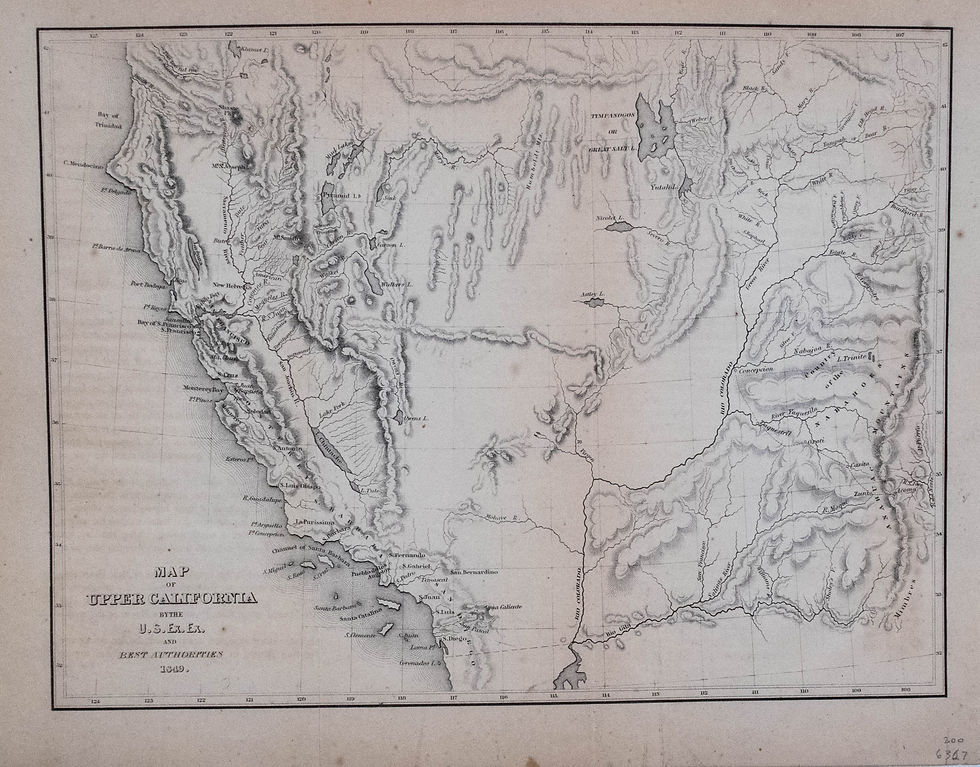
This map covers all the American West south of 42° N. and west of the Rocky (Anahuac) Mountains. The map offers great detail in California, particularly in the Gold Region. Los Angeles is a tiny Pueblo de los Angelos. The Colorado River has a more accurate course. The map assumingly was largely drawn from Fremont's maps of 1845-8. Uncolored.
1849 Wilkes Map of Gold Rush Era California
SKU: 2168
$225.00Price
Title
Map of Upper California by the U.S Ex. Ex. Best Authorities
Map Maker Specifics
C. Wilkes, 1849, Philadelphia
Size
8.5 x 11.3 in. plus margins
Condition
Light toning, few foxing spots and faint offset from opp. pg. Issued folded, now on tissue; uncolored


