

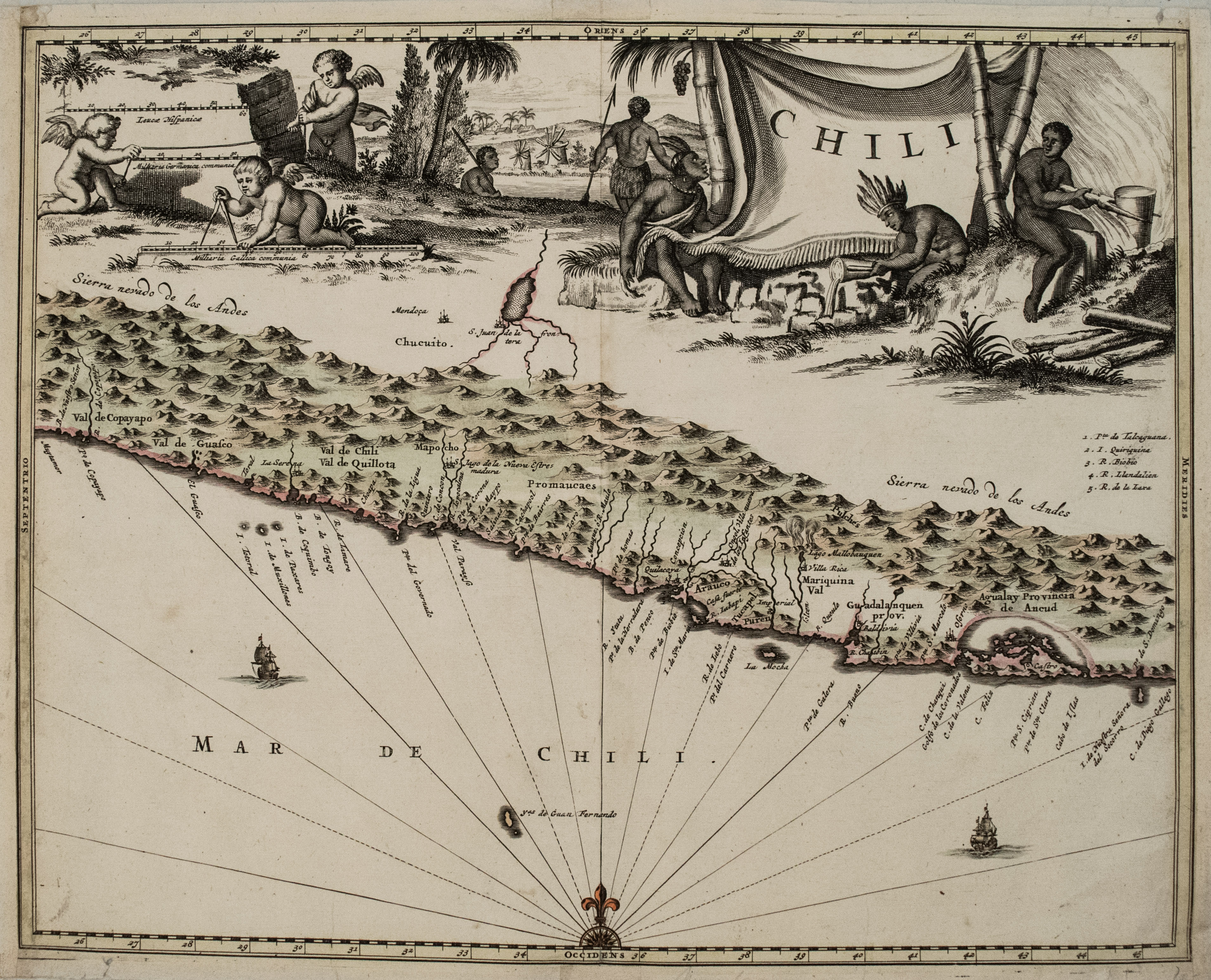
This is a very attractive map covering the coastal region of Chile. The Andes are shown prominently, with two live volcanoes in the vicinity of Villarrica. San Juan is shown on a large spurious lake east of the Andes and incorrectly located south of Mendoza. The map is very decorative with a large scene of industrious natives and cherubs filling the entire top of the map. The ocean is embellished with two galleons and a compass rose. The map is based on the cartography Hessel Gerritsz with north oriented to the left although the compass rose incorrectly depicts north at top.
1671 Montanus/Ogilby Map of Chile
Title
Chili
Map Maker Specifics
Montanus/Ogilby, 1671, London
Size
11.2 X 14.2 in. plus margins
Condition
Very good. Nice strike on watermarked laid paper. Very slight toning. A few small splits in the narrower margins. Issued centerfold. Original hand color.